Leeds weather: Met Office extends yellow weather warning for snow and ice as 'severe frosts' expected

and live on Freeview channel 276
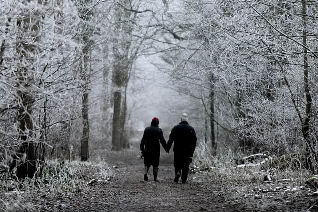
The city has been blasted by freezing cold temperatures throughout the week – and that’s set to continue tomorrow (January 18) according to the Met Office, as a yellow weather warning has been extended.
Initially, the warning was only set to last until midnight. But now, experts have pushed the caution back until Thursday at 12pm after predicting wintry showers across the region, which could cause icy patches.
Advertisement
Hide AdAdvertisement
Hide AdThis means that there could be “travel delays on roads stranding some vehicles and passengers” in some areas, as well as power cuts and possible delays or cancellations to trains and flights.

There’s also a chance of injuries from slips and falls on icy surfaces across Yorkshire and the Humber, experts have warned.
In the same region, snow showers may lead to some travel disruption tomorrow morning.
For people in Leeds, it will be a dry start to the day with the sun shining, but remaining very cold. As explained, there could be some wintry showers causing icy patches. Overnight, the city should prepare for “severe frosts”.
Advertisement
Hide AdAdvertisement
Hide AdOn Friday, it will continue to be very cold, with sunshine and severe frosts. There’s the possibility of ice with possible isolated snow showers too. It will become “markedly less cold” through Saturday and Sunday, but increasingly wet and very windy.
Meanwhile, another weather warning is expected to bring disruption to the city – this time for “strong winds” from Sunday (January 21) at 6am until midnight.
The Met Office said: “A period of strong winds may bring disruption to travel and utilities across parts of the UK.”
This means there is “a small chance of injuries and danger to life from flying debris”, as well as a chance of damage to buildings.
There could also be “longer journey times or cancellations, as road, rail, air and ferry services are affected”.