Leeds weather forecast as Met Office warns that snow could fall as temperatures plummet
and live on Freeview channel 276
The Met Office said the country will become colder, cloudier and more unsettled from Monday, bringing the risk of wintry weather in the middle of the week.
Temperatures during the day will halve from the highs reached last week and fall below freezing overnight as a cold front pushes down from the north.
Advertisement
Hide AdAdvertisement
Hide AdIt comes after many areas basked in glorious sunshine and highs of 20 degrees last week.

Met Office forecaster, Alex Burkill, said “Wednesday will be the most extreme in terms of wintry weather, as a cold stream of air will start to push southwards bringing unpredictable wet and windy conditions, even snow or sleet.
“It will be markedly colder than what we’ve just seen, daytime temperatures falling by half, and some areas will even struggle to hit 8C (46.4F), which will signify the biggest change in conditions.
“Overnight into Thursday and Friday, many areas will fall considerably lower than freezing, towards minus 4C (24.8F) and minus 5C (23F)
Advertisement
Hide AdAdvertisement
Hide Ad“It looks like most places will be impacted, parts of northern England, northern Wales and central England are expected to be the worst affected.
“This wintry weather could even push into southern areas of England and Wales, which isn’t unusual, it is normal to have colder weather in April, but it’s far from the sunny, warm days seen last week.”
But what about Leeds?
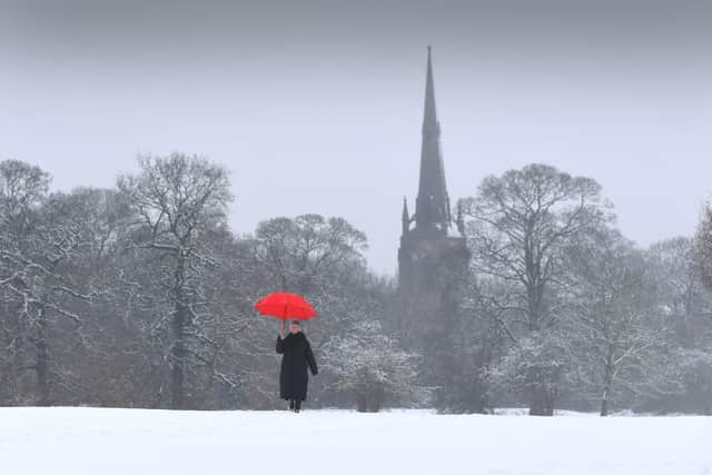
The current forecast said snow is possible but not guaranteed.
Monday is set to be colder than the weekend with slow-moving showers and maximum temperatures of 16 degrees.
Snow is possible on Tuesday, forecasters said.
Advertisement